





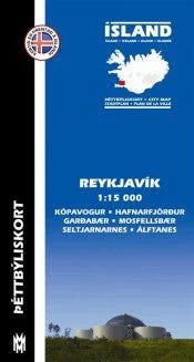
Reykjavik City Map 1:15.000
Navigate the vibrant streets of Reykjavik with ease using our expertly crafted Reykjavik City Map scaled at 1:15,000. This comprehensive map covers not only the capital area but also nearby cities such as Kópavogur, Garðabær, Hafnarfjörður, and Mosfellsbær. Each route out of the city is clearly marked, making it an ideal companion for foreign visitors.
Before your adventure in Iceland, familiarize yourself with the local area and hotspots through this detailed map, available in Icelandic, English, German, and French. Perfect for planning your sightseeing trips and discovering hidden gems, this map is a must-have for tourists and locals alike.
Published in 2009 and authored by Ólafur Valsson, it’s an essential tool for anyone looking to explore the beauty of Reykjavik. Get yours today!
What areas does the Reykjavik City Map cover?
What languages is the map available in?
Is this map suitable for travelers?
When was this map published?
Is the map detailed enough for navigation?
What areas does the Reykjavik City Map cover?
What languages is the map available in?
Is this map suitable for travelers?
When was this map published?
Is the map detailed enough for navigation?