



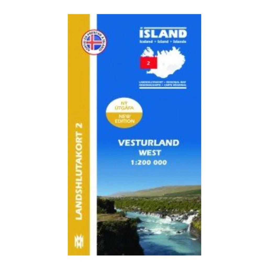
Regional Map 2 - West 1:200.000
Navigate through Iceland with confidence using the Regional Map 2 - West 1:200.000. This detailed map divides Iceland into eight regions, providing up-to-date insights on the road system, campsites, swimming pools, and golf courses. It features over 26,000 place names, helping you discover hidden gems.
On the reverse side, you’ll find essential information about natural wonders, complemented by stunning photographs and multilingual text. Also included are illustrations of typical birds and plants indigenous to the area. Whether you're hiking, road tripping, or simply exploring, this map is an indispensable companion on your Icelandic adventure.
Author: Hans Hjálmar Hansen | Published: 2013
What detailed information does the map provide?
The map includes roads, campsites, swimming pools, golf courses, and over 26,000 place names.
Is this map suitable for hiking and road trips?
Yes, it's designed for both hiking and road trips, making it perfect for all types of travelers.
Are there illustrations of local wildlife?
Yes, the map features drawings of common birds and plants found in the region.
What languages are used on the map?
The map includes text in four languages for your convenience.
Who is the author of this map?
The map is authored by Hans Hjálmar Hansen and was published in 2013.
Regional Map 2 - West 1:200.000
Precio de oferta$20.00 USD
What detailed information does the map provide?
The map includes roads, campsites, swimming pools, golf courses, and over 26,000 place names.
Is this map suitable for hiking and road trips?
Yes, it's designed for both hiking and road trips, making it perfect for all types of travelers.
Are there illustrations of local wildlife?
Yes, the map features drawings of common birds and plants found in the region.
What languages are used on the map?
The map includes text in four languages for your convenience.
Who is the author of this map?
The map is authored by Hans Hjálmar Hansen and was published in 2013.